• +972-54-4709178
  • arik@ecolo-gis.com
  • Ecolo-gis

About Us

Who We Are

Ecolo-GIS combines Geographical Information Systems (GIS) and Remote Sensing (RS) with field experience to provide essential information for ecology, forestry and agricultural projects. Our proprietary process delivers timely and accurate analysis for improved project management.

What makes Ecolo-GIS unique is the combination of automated spatial analysis with ecology field expertise. Our method delivers timely and accurate information for large areas. Land cover classification is provided at 85% accuracy using our automated proprietary process, which is faster and more accurate than other spatial analysis methods. Our team works closely with clients to provide them with tailor made spatial analysis products that suit their needs.

Company Profile

OUR TEAM

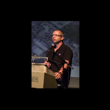
Arik Rosenfeld

Dr. Arie Rosenfeld (Ph.D)

CEO

Specializes in Remote sensing and GIS for ecological conservation and natural resource management.

Adina Avisar Rosenthal

Adina Avisar Rosenthal

Agricultural Economist

Agricultural Economist Consultant / Agricultural Economist.  Consult

Cooperation Partners

Conservation Park – LTER Site

VISIT SITE

(MOEP), Dept. of Open Spaces

VISIT SITE

(JNF) – Israel Forestry Organization

VISIT SITE

(SPNI) – Israel Conservation Organization (NGO)

VISIT SITE

(NPA) – Israel Nature Conservation Authority

VISIT SITE

Impact of Elephant Population on Bushveld Vegetation at Addo Elephant National Park (AENP).

VIEW PROJECT

Research Project – Feral Hog Population Management at Kennedy Space Center, Florida.

VIEW PROJECT

COPYRIGHTS © 2016 Ecolo-gis All rights reserved.