Mapping and Modeling Shade in Urban Spaces
- Posted on October 21, 2015
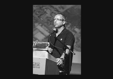
Dr. Arie Rosenfeld presented his talk on “Mapping and Modeling Shade in Urban Spaces Using GIS and Remote Sensing Techniques” at the “Urban Shade in […]
Read MoreECOLO-GIS Project Experience in Three Main Sectors
Analysis of spatial, ecological, socio-economic and institutional data to ensure sustainable and efficient use of resources
Read MoreProvide managers and stakeholders with data and science-driven recommendations regarding conservation and management
Read MoreCollect and analyze data using remote sensing, information from the site and from stakeholders to promote ecologically sustainable agriculture projects
Read MoreEcolo-GIS incorporates state-of-the-art and proprietary technologies for timely geo-spatial data collection. Maps are appropriate and identify cover change within a time period that is relevant for decision making. This allows for timely resource monitoring, conservation, and emergency response management. Even large-scale forest surveys can be updated periodically for management purposes. Remote sensing experts also have many years of experience in ecology and agricultural systems, with a profound understanding of the effects on vegetation and wildlife.
Dr. Arie Rosenfeld presented his talk on “Mapping and Modeling Shade in Urban Spaces Using GIS and Remote Sensing Techniques” at the “Urban Shade in […]
Read More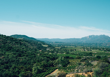
Ecolo-GIS provided spatial analysis of temperature distribution in the Judean foothill region (Shfela in Israel) to Teperberg Winery. Maximum and minimum temperature grids of 100 x 100 […]
Read More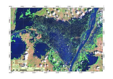
Dr. Arie Rosenfeld presented examples of work carried out by Ecolo-GIS at the “FP7 “Space and GMES Initial Operations Symposium Opportunities and Networking 2011-2013”. The Symposium […]
Read More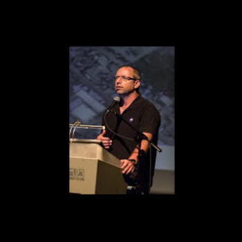
Specializes in Remote sensing and GIS for ecological conservation and natural resource management.

Agricultural Economist Consultant / Agricultural Economist. Consult
Companies and Organizations We Have had the Honor to Work With